
Carmel Neighbor Record Sources
No official source publishes a complete list of Carmel neighbors. The strongest block view comes from parcel geometry, property reports, person-specific voter confirmation, and community sources used for their proper purpose. Each has a different unit: a parcel, one selected owner, one supplied voter identity, or a neighborhood organization. Treat the overlap as evidence, not certainty.
| Source | What It Shows About a Block | Access |
|---|---|---|
| Hamilton County parcel GIS | Parcel shapes, owner and location fields, subdivision, lot, and block | Free GeoHub and public data layer |
| Property Reports and Payments | Current ownership, mailing address, transfers, and property details | Free address or parcel search |
| Indiana Voter Portal | Status and polling confirmation for one supplied identity | First name, last name, birth date, and county required |
| Carmel Neighborhood Association Network | Neighborhood-leader resources and citywide network contacts | Public program page; no member roster |
| Indiana Room files | Past block context, development files, maps, and criss-cross entries | Library research help and in-person collections |
A property owner may live elsewhere, and a resident may never appear as an owner. A matching tax mailing and location address can support an owner-occupancy theory. A homestead tax flag can support it too. Neither proves that a named person lives there now. Utility accounts, delivery data, and household membership are not public substitutes.
Measure the Carmel Block
The Hamilton County GeoHub is the county map gateway. Its public parcel layer supports spatial queries and Query With Distance, which can identify polygons near a chosen point. Published fields include owner and location addresses, subdivision, block, lot, parcel numbers, legal description, last transfer date, neighborhood, and a property-report link. The service can return at most 2,000 records per response, far more than a careful block search should need.
Use the city’s Carmel zoning map tools to understand zoning and nearby land patterns.
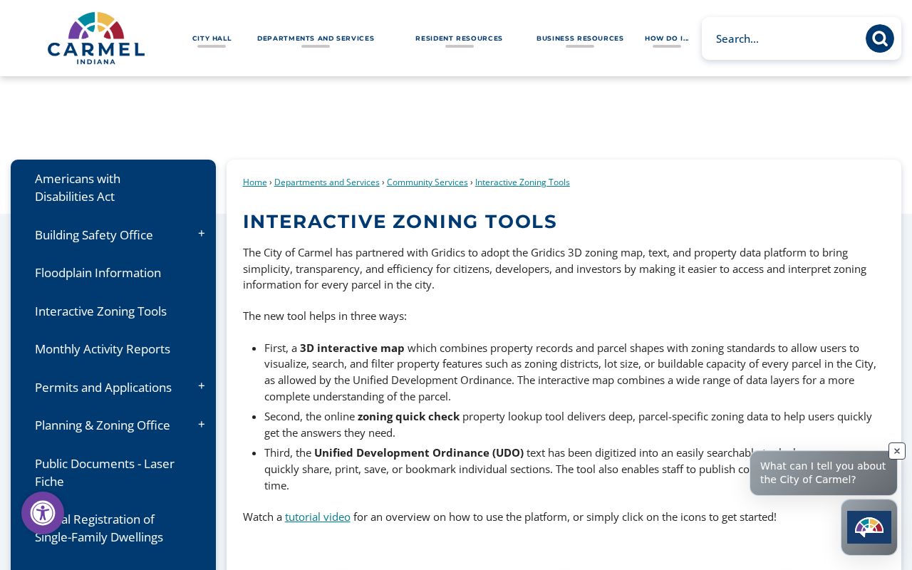
Zoning helps explain the block’s form, but it does not identify residents.
Map Carmel Neighbors by Parcel
Begin with one verified address, then expand only to parcels that share a boundary or face the same short street segment. This keeps a neighbor search tied to the immediate block rather than sweeping an entire ZIP code. Save parcel identifiers as you go because duplicate street labels and common areas can confuse a name-only list.
- Locate the known address in Hamilton County GeoHub or the public parcel layer.
- Click parcels that touch it, then add lots directly across the street if the map makes that relationship clear.
- Open the county property report for each parcel and record ownership, mailing address, and transfer clues.
- Mark common areas and vacant land so they are not mistaken for households.
- Switch to the Carmel street directory when the question expands to the full named street.
The county Real Property Department explains how deed transfers move among the Assessor, Auditor, and Recorder.
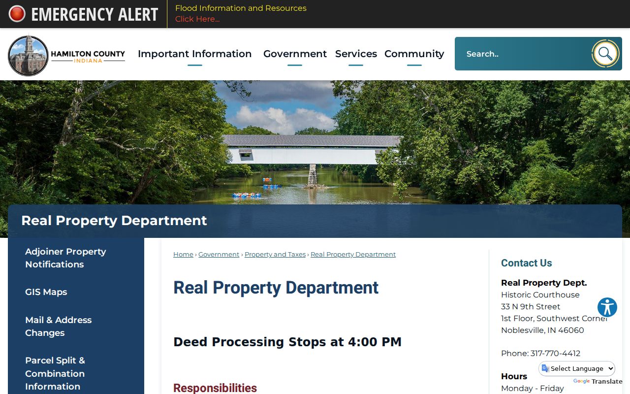
That workflow explains why a recent deed and an older tax display may briefly disagree.
Carmel Neighborhood Network Contacts
The Carmel Neighborhood Association Network, or CNAN, links the city with neighborhood leaders and hosts an annual workshop. Its page offers program documents, videos, and a way for association contacts to update information. It does not publish a full association-member or resident roster.
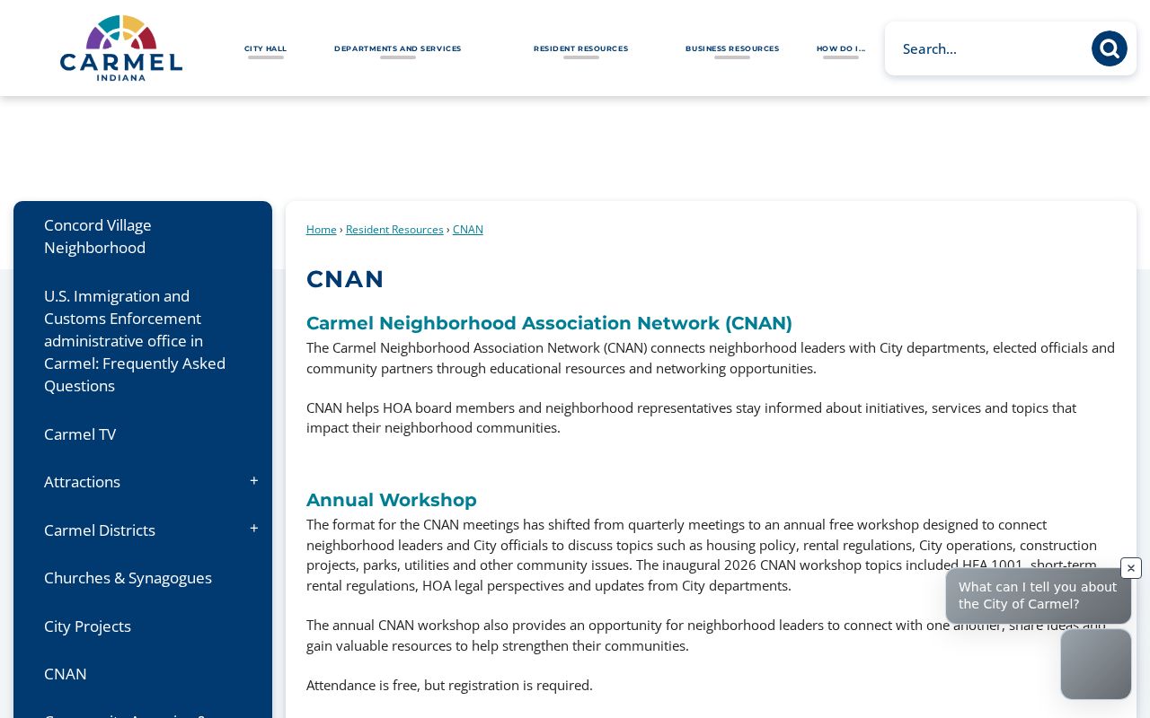
Use CNAN to find the right public neighborhood channel, not to infer who belongs to an association.
Carmel CNAN
Citywide neighborhood-leader network, workshops, and contact updates.
Hamilton East Indiana Room
Development, utilities, parks, school, government, map, and criss-cross files.
Carmel GIS Hub
Public parcel, subdivision, street, zoning, and related map layers.
Carmel Subdivisions Are Not Rosters
Carmel GIS can label areas such as Carmel Original, Brookshire, Concord Village, or Crooked Stick Estates. A subdivision name is a geographic and plat clue. It can group parcels, locate a lot and block, and point toward covenants or common-area deeds. It does not establish an HOA, prove current membership, or disclose residents.
Deeds and plats may reveal easements, shared drives, rights-of-way, surveys, and subdivision phases that connect adjacent parcels. Search those instruments through the Hamilton County Recorder when the question concerns a boundary or shared access. A neighbor’s name in an easement means the person was a party to that instrument, not necessarily a current occupant.
For older neighborhood context, Hamilton East Public Library’s Indiana Room has vertical files arranged around Carmel development, city government, utilities, parks, schools, public safety, and local history. Its development headings divide material into several time bands, which makes a focused archive request easier than asking for everything about a subdivision. Maps, aerials, news files, and criss-cross directories can show how a block changed, but they must be read as historical snapshots. Congregation histories and civic anniversary books can add public names and events when the collection has them. They are not present-day membership lists, and the absence of a person’s name says nothing firm about current residence or participation.
Confirm One Carmel Voter
The Indiana Voter Portal is person-specific. It asks for first name, last name, date of birth, and county, then returns registration and polling information. It is not a public block roll. Hamilton County computerized voter data is controlled by Indiana Code §3-7-27-6, and misuse is restricted by Indiana Code §3-14-6-2.
People enrolled in Indiana’s Address Confidentiality Program may use a substitute mailing address and request a confidential voter-record flag. A no-match result can therefore reflect protected data, a recent move, an input difference, or no registration. Do not treat it as proof that someone is absent from the block.
Note: Verify election and polling details live because Hamilton County procedures and precinct arrangements can change.
Compare Carmel Neighbor Tools
Official sources and commercial neighbor tools do different work. County records identify parcels and recorded parties. Private tools may merge old addresses, phone listings, and purchased data without showing where or when a fact arose.
| Source Type | Strongest Use | Main Limit |
|---|---|---|
| County parcel and tax records | Recorded owner and parcel facts | Does not list every occupant |
| Voter confirmation | Checking one supplied identity | Not a browsable block roster |
| Neighborhood organizations | Public contacts and community activity | Membership may be private or voluntary |
| Commercial compilations | Possible leads | Sources, dates, and accuracy may be unclear |
For civic curiosity or personal safety, prefer a dated official record and verify it with the custodian. Record the access date because public parcel and ownership facts can change. Never treat a compiled profile as conclusive.
Privacy Limits for Carmel Neighbors
Public property records do not expose a complete household. Utility accounts, BMV records, delivery data, private association lists, protected voter details, sealed cases, and many personal identifiers stay outside a lawful neighbor lookup. Even an open deed can contain an old mailing address or a trust name rather than the person now at the door.
The county’s Property Fraud Alert is a free owner-protection service, not a neighbor roster. A May 1, 2025 land-record-system conversion required users to re-enroll.
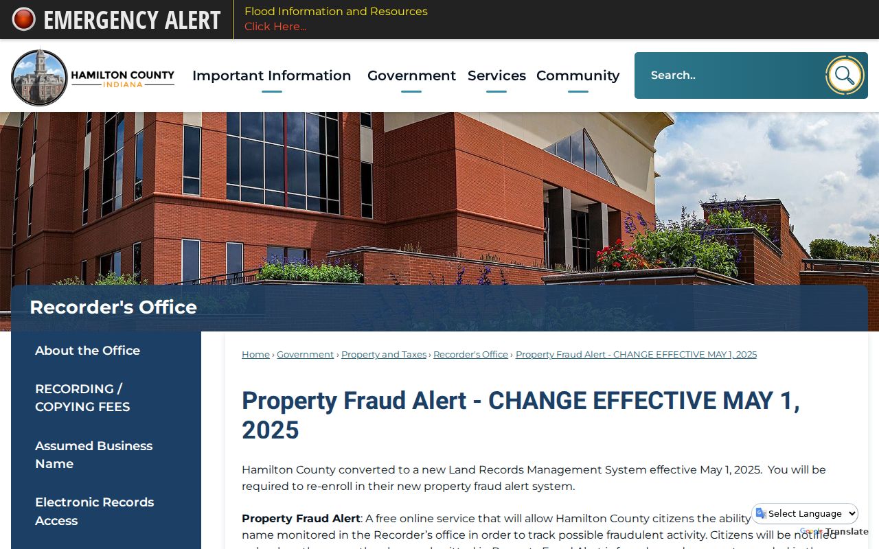
The change is a good reason to verify saved links and alert status with the county.
Lawful use. Research Carmel neighbors for community contact, civic questions, or personal safety. Never use public information to watch, threaten, harass, or harm anyone.