
Walk a Carmel Street Record
A sound by-address search separates the physical site from each named person. Hamilton County Property Reports identifies a parcel and current owner. The public parcel layer places it among nearby lots. Recorder instruments explain transfers, liens, easements, plats, and surveys. A person-specific voter check or dated criss-cross volume can add evidence, but neither proves every current occupant.
Use one normalized address at each stage. Keep the parcel number and legal description beside it because street spelling and postal labels can shift.
- Enter the property address in Hamilton County Property Reports.
- Locate the parcel and adjoining polygons through Hamilton County GeoHub.
- Record the owner, mailing address, parcel, subdivision, lot, and transfer details.
- Search Recorder deeds by name, document number, or legal description.
- Check a known voter identity or consult a dated criss-cross directory.
Carmel Property Search Fields
The assessor landing screen is parcel and address oriented, not a simple owner-name search. After selecting a result, the report can show current ownership, taxpayer mailing data, values, deductions, tax caps, transfers, and the property card. GIS owner fields and Recorder searches are the name-first alternatives.
| Portal field | Input | Purpose |
|---|---|---|
| County duplicate | Number | Known tax parcel |
| State parcel | Number | State-format parcel |
| Property address | Street text | Physical site |
| Mailing address | Address text | Tax correspondence |
The property reports help page explains report tabs and updates.
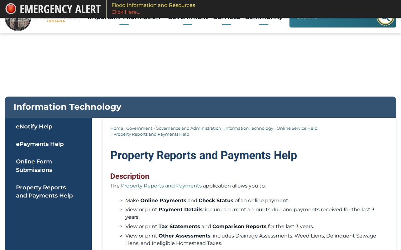
The captured screen shows why the selected report should be saved with the search list.
Map Carmel Streets by Parcel
The county parcel layer carries geometry, location address, owner and mailing fields, subdivision data, transfers, assessments, and tax attributes. Spatial tools can select shapes near a point or within a distance. Broad queries may hit the 2,000-result limit, so browse a street in short segments.
Carmel planning maps add streets, subdivisions, zoning, infrastructure, and parcel context. A subdivision polygon gives geography, not a resident or HOA roster. The public parcel layer documents the source fields.
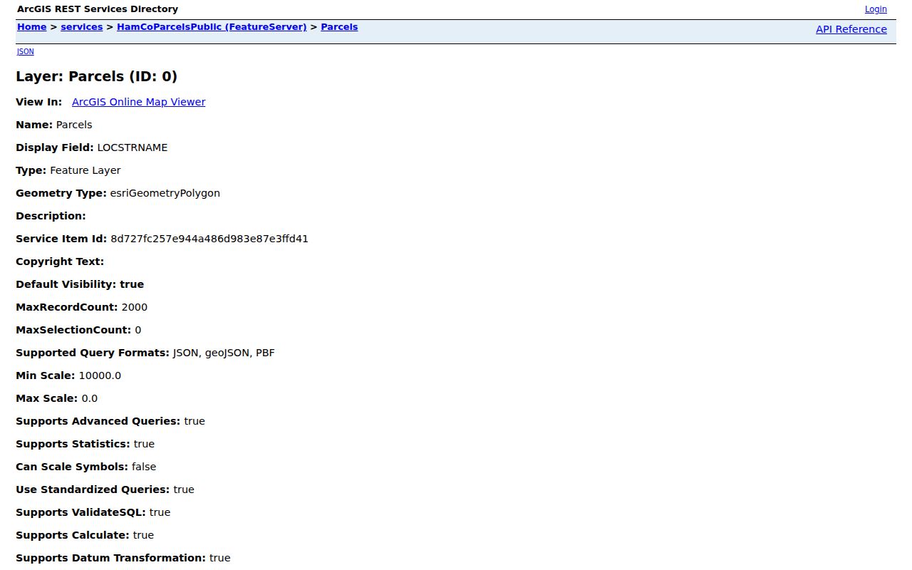
The service screen exposes why parcel location and owner mailing fields must be read separately.
Carmel Records Keyed by Street
No Carmel street directory holds every household. Different offices keep different facts, and counter, phone, mail, library, and public-records-request channels remain useful when a portal stops.
| Record | Keeper | Shows | Access |
|---|---|---|---|
| Property report | Hamilton assessing offices | Parcel, owner, mail data, transfers | Free portal, phone, counter |
| Parcel GIS | County and Carmel GIS | Lots, streets, subdivisions | Free viewer and data |
| Instruments | Hamilton Recorder | Deeds, liens, plats, surveys | Tapestry, Laredo, office terminal |
| Voter confirmation | Election offices | Status for a supplied person | Portal or controlled request |
| Permits and code | Carmel | Known address evidence | Cityworks, phone, Laserfiche, APRA |
| Criss-cross books | Hamilton East library | Dated occupants by address | Indiana Room |
The parcel number and legal description bridge tax reports, deeds, plats, and permits even when an address is inconsistent.
Carmel Situs and Mailing Addresses
A situs address is the parcel's physical place. A mailing address receives tax mail. They may match, but a post office box or out-of-city mailing address does not prove where the owner lives. A Carmel postal label also does not prove city jurisdiction.
- Parcel
- A mapped unit of land with an identifying number.
- Situs address
- The physical address assigned to property.
- Plat
- A recorded map of lots, blocks, streets, or easements.
- Criss-cross directory
- A directory arranged by address or phone instead of surname.
Check USPS for postal facts, then use taxing district, geometry, and deed description for jurisdiction. Carmel records may show Clay Township because government roles overlap.
Deed Chains Along Carmel Streets
Hamilton County's modern deed index starts in February 1947; historical deed indexes reach 1870. Selected deed-book images cover May 1899 through January 1949. Miscellaneous online records begin in 1973, with older indexes and selected books covering parts of 1914 through 1960. An index hit does not ensure an online image.
Grantor means a party transferring an interest; grantee means one receiving it. Start with the current deed, note its prior instrument, and repeat. Recorder staff preserve and copy documents but do not conduct searches for the public.
The electronic-access page describes the free terminal and copies.
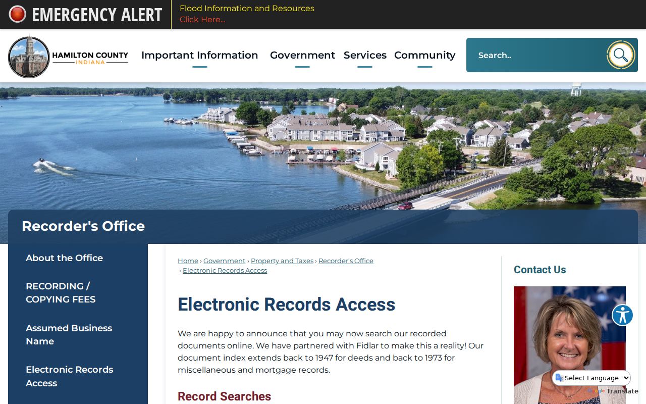
The office route helps when a web index lacks the needed deed image.
Two Hamilton Recorder Eras
Tapestry is listed at $8.75 per search, with free hit viewing and $1 page printing. Laredo Anywhere is a subscription. The Recorder at 33 N 9th Street, Suite 309, Noblesville provides a free computer, and weekday public searching ends at 4:20 p.m.
The county changed its land-record system on May 1, 2025, so check the current recorded-document page. Property-fraud-alert users also had to enroll again.
Note: Keep the index citation with the deed image because index coverage and image access are separate promises.
Carmel Permits by Address
Carmel Cityworks and ProjectDox support known projects, tasks, inspections, documents, and permit downloads. Research found no anonymous historical index for all permits on a street. Use Carmel Cityworks for a known case; otherwise call Building Safety, search Laserfiche, or make a narrow APRA request with address, record type, and dates.
The image reflects a project workflow, not a complete public permit-history roll.
Carmel Code Cases by Street
Code records can connect an inspector, owner, complaint, or condition to an address. Carmel takes reports through Carmel 311, the district inspector, or email. Its page has no full historic search. Use the Code Enforcement route, then request a specific date range if needed.
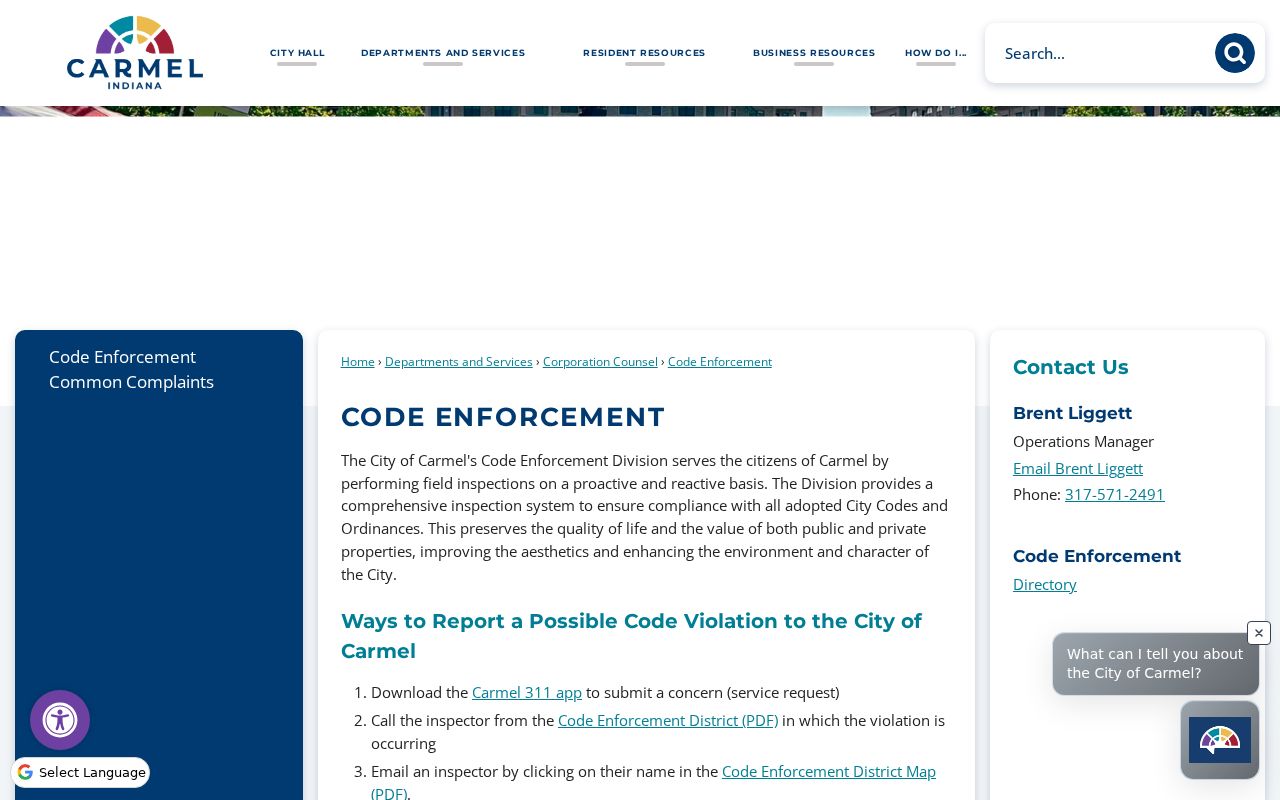
The source identifies request channels without claiming a public case index exists.
Carmel Voter Address Limits
The Indiana Voter Portal confirms a supplied person using first name, last name, birth date, and county. It is not a street roll. Hamilton County computerized voter data is controlled through VRG-24 eligibility, restrictions, and fees. Address Confidentiality Program participants may use a protected flag and substitute mailing address.
A no-match can mean input error, a move, protection, or no registration. It does not show an empty house. Keep person-specific voter evidence apart from parcel evidence.
Reverse Directories for Carmel Streets
Hamilton East Public Library's Indiana Room holds Haines criss-cross directories from 1976. Start with an address, read the listed occupant for that year, and compare nearby volumes. The books are dated evidence, not a current roll.
The Carmel city directory collection gives the shelf context. Staff help, maps, family files, and vertical files are fallbacks when an address form changes. No official Carmel renumbering crosswalk was located, so use plats, deeds, maps, aerials, and newspapers.
Carmel Streets Across ZIP Lines
Carmel's main postal labels are 46032, 46033, and PO-box ZIP 46082. City legal notices also group 46280 and 46290 as current in Carmel, while identifying nearby postal areas separately. Postal service areas do not define the municipal boundary.
Verify the full address through USPS before joining records. Then compare location ZIP, owner ZIP, parcel geometry, taxing unit, and legal description. The county GIS layer holds both location and owner ZIP fields, which can differ because an owner may receive tax mail elsewhere.
Road corridors help orient uncertain results. US-421, US-31, Keystone Parkway, and the former Monon corridor appear in Carmel geography, but they do not replace a parcel number. When hits share a street name, the map and subdivision label help select the right property.
Carmel Street Search Fallbacks
Online access is only one channel. If Property Reports returns no match, normalize the directional, suffix, and house number, then call the Clay Township assessing office or county Assessor. If GIS is unclear, contact county GIS or Carmel Planning and Zoning. For deeds, use the Recorder terminal or request a copy when recording data is known.
For city material, search Laserfiche by parcel number, docket number, department, and date. Carmel's Clerk can route a focused request for an existing record not online. Indiana APRA requires reasonable particularity; an office need not create a new street directory or perform open-ended research. Inspection is free, while copies may carry a lawful fee.
Historical address work belongs at Hamilton East Public Library, the Indiana State Library, the State Archives, or the Carmel Clay History Museum. Those repositories add directories, maps, newspapers, county histories, family files, and archival context that a current parcel database cannot provide.
Carmel Property Card Details
Once the correct parcel is selected, the property card gives more than a name. It may include land and improvement values, deductions, tax-cap treatment, transfer history, and report-year data. These fields help distinguish two parcels with similar addresses and show whether a sale recorded in the deed index has reached the assessment system. The county help material says report data changes on different schedules, so note the retrieval date.
Transfer history is a lead, not a substitute for the deed. Open the recorded instrument to confirm grantor, grantee, recording date, document type, legal description, and any stated prior reference. A tax-mail address can also point away from the situs address without proving who occupies either place. This distinction prevents a Carmel street directory entry from turning a taxpayer field into an unsupported resident claim.
Property cards are also useful at the counter. Bring the state parcel number, county duplicate number, full street address, and a copy of the questionable field when calling the Assessor, Auditor, or Treasurer. Each office controls a different part of the assessment and tax workflow.
Carmel Plats Lots and Blocks
A postal address is only one way to identify land. Recorded plats organize subdivisions into named lots, blocks, streets, easements, and common areas. Deeds carry a legal description that may cite that plat even when the street number is new or missing. Carmel GIS subdivision layers can therefore narrow a search before the Recorder index is opened.
Do not treat a subdivision name as a household list. Carmel Original, Brookshire, Concord Village, and Crooked Stick Estates are examples of geographic labels found in GIS research, not proof of association membership. A common-area parcel may be held by an entity, and one deed can describe rights shared by many adjoining owners.
Surveys, easements, releases, and right-of-way records may connect parcels along a block. The Recorder's document-type list confirms those instrument categories. Search them when the question concerns a shared drive, boundary, access strip, or subdivision phase rather than a former owner. For modern parcel adjacency and block work, the Carmel neighbors page keeps the focus on the immediate area.
Limits of Carmel Street Directories
Property files name owners and taxpayers, not all residents. A homestead flag supports a theory but does not prove current occupancy. Utility lists and motor-vehicle address data are not open resident rolls. Protected voter addresses and sealed records remain private.
Official sources state their keeper and purpose. Commercial neighbor products may blend stale or mismatched data. Prefer the original parcel, deed, permit, or registration record.
Lawful use. Use Carmel address records for lawful personal research, never to stalk, harass, intimidate, or harm a person.
Note: Ownership, mailing, and occupancy are three distinct facts; label each before reaching a conclusion about a Carmel address.